Travel
Storm Ashley brings strong winds across Ireland today; seven counties under Status Orange wind warning as council warns of flooding

There is a nationwide Status Yellow wind warning currently in place until 3am tomorrow, while seven counties have a Status Orange wind warning from 10am to 8pm
Four other western counties – Clare, Galway, Mayo and Donegal – were already the subject of Status Orange wind warnings issued by the forecaster.
The warning will come into effect from 10am until 8pm today.
Ireland’s first named storm of the season will bring very strong winds, with Storm Ashley leaving the entire country under weather warnings.
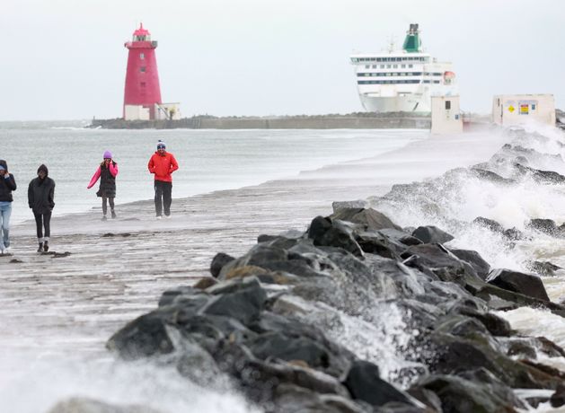
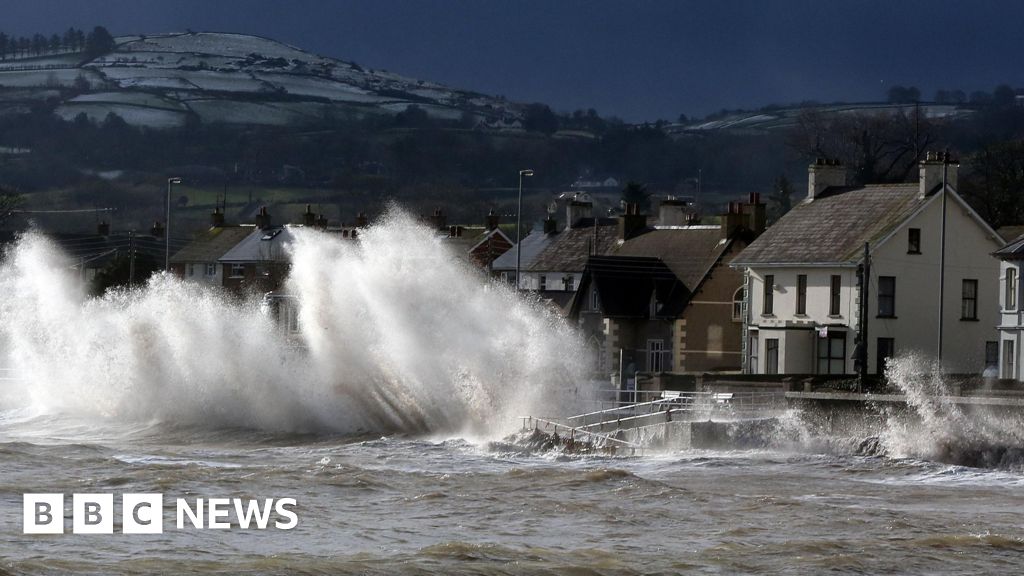
Effects will include coastal flooding, large coastal waves, loose objects and fallen trees.
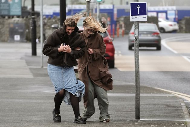
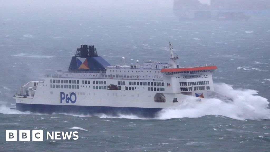
Strong winds in the counties with the orange warning will lead to very difficult travelling conditions, dangerous conditions at sea, and damage to power lines and already weakened structures.
Galway City Council has asked businesses and residents to prepare for potentially significant coastal flooding at high tide between 6.30pm and 8.30pm as the county might be one of the worst affected by the Storm.
A nationwide Status Yellow wind warning has also been issued and is in place until 3am on Monday. Possible effects will include coastal flooding, large coastal waves, difficult travelling conditions, debris and loose objects being displaced.
A Status Yellow rain warning for Carlow, Kilkenny, Wexford, Wicklow, Cork, Kerry and Waterford was valid overnight until 9am.
Irish weather warning colours explained
The Galway City Council has taken a number of precautions, including flood barriers along the Spanish Arch and the closure of several roads and the Silverstrand, Salthill and Toft car parks.
Road closures include Dock Road from Wolfe Tone Bridge to Lough Atalia junction with Fairgreen Road Upper, Salthill Prom from Seapoint mini-roundabout to Galway Business School and Grattan Road from junction with Seapoint Road to Claddagh Quay junction with Fr Griffin Road.
Galway residents can avail of sandbags from Tourist Kiosk Salthill, Claddagh Hall, Fire Station Fr Griffin Road, Spanish Arch and Docks beside the pedestrian crossing at St Nicholas St.
ESB Networks has also advised the public to stay away from the fallen cables and report such cases to them immediately while the Irish Coast Guard has asked everyone to stay away from coastal areas during the weather warnings.
Met Éireann forecaster Joanna Donnelly appealed to the public to avoid the coasts during Storm Ashley and “not to risk their life for an Instagram photo”.
She described it as a “very serious storm” and warned of the ongoing risk of flooding.
Ms Donnelly said Ireland has seen the highest spring tides of the year so far.
“We’re going to have coastal flooding. We’ve got very strong winds associated with Storm Ashley, particularly along west-facing coasts,” she told RTÉ Radio One’s Brendan O’Connor Show.
“We’ve got heavy rain too. There’s likely to be flooding – caused by the rain, caused by the onshore wind, caused by the spring tides.
“We’ve kind of got a perfect storm going on here. It is very serious. And the main message we need to get out there is [to] stay away from the coast. Don’t risk your life for an Instagram photo,” she added.
The forecaster also appealed to the public to follow Met Éireann’s weather warnings as they develop.
“Keep an eye on your own vulnerabilities, your property’s vulnerabilities. Tie down the trampolines, no matter where you are in the country, and make sure any loose debris is well taken care of,” she said.
“Don’t go near any fallen trees. Call the emergency services if a tree is down near you – those electricity wires can be hidden under trees.
“Don’t risk your life or the life of those that have to come rescue you in the case of attending coasts. Don’t go near the coasts.”
“We always need to be aware of our own vulnerabilities to significant weather. It’s going to be a very windy day and there’s going to be some very heavy rain, there’s going to be difficult or dangerous travelling conditions.
“So you need to take responsibility for your own safety here and be aware that these warnings can change,” she added.
The National Directorate for Fire & Emergency Management (NDFEM) also advised the public to stay away from coastal areas throughout the day.
The warning followed a meeting yesterday morning between the NDFEM, Met Éireann and various other stakeholders to review updates in relation to the current weather warnings in place for Storm Ashley.
NDFEM said it will continue to liaise with Met Éireann and is monitoring the situation.
Keith Leonard, National Director of the National Directorate for Fire and Emergency Management, said: “Local Authority Severe Weather Assessment Teams are continuing to monitor conditions locally.
“With potential for tidal flooding in coastal areas, especially in Southern and Western counties, surface flooding in urban locations is also possible and Local Authorities have their emergency response teams in place, ready to respond where and when necessary.
“The public also have their own part to play. I would absolutely urge everyone to stay away from all coastal areas during this period and to heed the advice from the Irish Coast Guard to ‘Stay Back, Stay High, Stay Dry’.
“As dangerous travelling conditions are also possible, road users should pay particular attention to the risk posed by fallen trees and flying debris.”
Met Éireann meteorologist Liz Walsh said: “Storm Ashley will bring strong southerly winds overnight on Saturday night and early Sunday with a second wave of even stronger south-westerly winds, accompanied by damaging gusts across the country, from mid-morning on Sunday, right through the afternoon and into the evening in some parts.”
Met Éireann said the peak winds will happen very early in the morning, then again in the afternoon and evening.
The Road Safety Authority (RSA) has urged road users to take “extreme care”. If the road is flooded, drivers are advised to take alternate routes.
Drivers have also been urged to slow down and allow greater braking distance from the vehicle in front. This is especially important on high-speed roads such as motorways, where there is a greater danger of aquaplaning.
The RSA has advised pedestrians to walk on the right-hand side of the road facing traffic where there are no footpaths, while cyclists should use front and rear lights and wear high visibility clothing.
After the blustery weekend, early next week looks rather dry with a few scattered showers while the high tides will keep the ongoing risk of coastal flooding.
Tomorrow will be a drier and brighter day, bringing spells of sunshine and some showers. It will later turn cloudier in the afternoon and evening while the showery outbreaks of rain might spread eastwards.
Temperatures will range between 12 and 15C, with winds remaining strong at the Atlantic coasts.
Met Éireann said there will be a lot of dry weather in many areas for the next couple of days before becoming more unsettled later in the week.


